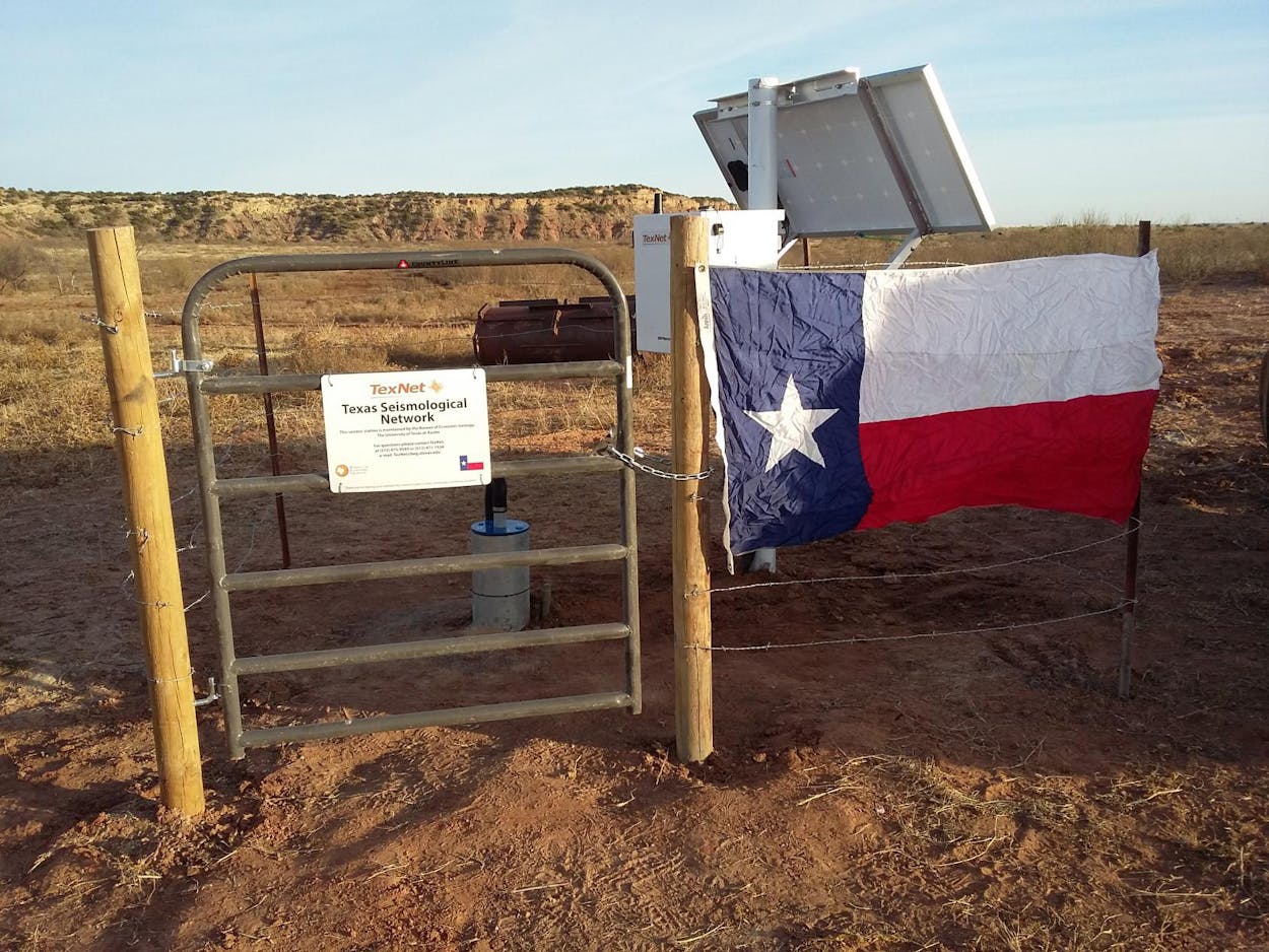
Scientific studies have established a strong link between a rash of earthquakes across Texas and new oil- and gas-related drilling techniques, and now the Lone Star State is equipped with one of the most cutting-edge methods in the country to measure and track seismic activity.
TexNet is the University of Texas at Austin’s state-funded $4.47 million earthquake-monitoring system, which uses 22 permanent monitoring stations and 40 portable monitoring stations to track Texas tremors. The system was formed in 2015 after Governor Greg Abbott and the Legislature authorized state funding, and last week UT unveiled a new online map—using TexNet data—that gives Texans accurate earthquake information and allows people to track quakes across the state in real time. The interactive website also allows sorting of earthquake data.
“Gov. Abbott and the Legislature have put Texas in the forefront of data collection and research into the causes of seismicity in the state,” bureau director Scott W. Tinker, who led the formation of TexNet, said in a UT press release. “Small earthquake events have become more common in Texas recently, and we are now positioned to learn more about them and, hopefully, to understand how to mitigate their impacts in the future.”
The online map pinpoints the location of every earthquake that was at least 1.5-magnitude since January, and there’s also a link for users who felt an earthquake to report it to the federal United States Geological Survey. Quakes that fall below the 1.5-magnitude threshold are still listed in TexNet’s full catalog, which can be downloaded from the site.
You can easily tell from the map where earthquakes in Texas have occurred most frequently since January. The West Texas towns of Pecos and Scurry, where oil drilling has exploded, are pockmarked with quakes, specifically over locations the map labels as oil fields. UT’s Bureau of Economic Geology reported earlier this month that the Permian Basin, the Eagle Ford Shale, and the Dallas–Fort Worth region have all seen an increase in earthquakes, according to Bloomberg.
Research has shown that oil and gas activities are responsible for the majority of Texas’s recent earthquakes, with several studies showing an apparent relationship with fracking practices. Last year, the Environmental Protection Agency said there was a strong possibility quakes in North Texas were the result of oilfield wastewater disposal wells, while the oil and gas industry has repeatedly rejected these claims (so has the Texas Railroad Commission, which is tasked with regulating the industry). Also last year, scientists from several leading universities found what they described as a “definitive link” between the injection of wastewater from fracking and Texas earthquakes, finding that enough water was pumped into the earth in East Texas to make the ground to bulge and cause enough pressure to trigger quakes.
Last month, a study by scientists at Southern Methodist University found that the fault that triggered the strongest earthquake ever recorded in Texas—a 4.0-magnitude quake near the town of Venus, south of Dallas–Forth Worth—could potentially produce an earthquake ten times larger. The study also found “substantial evidence” that the earthquake was triggered by wastewater disposal wells from oil and gas operations.
Needless to say, the new online map will help a lot in understanding earthquake patterns across Texas, even if one pattern—a connection between oil and gas activities and quakes—already seems abundantly clear.
- More About:
- Energy


