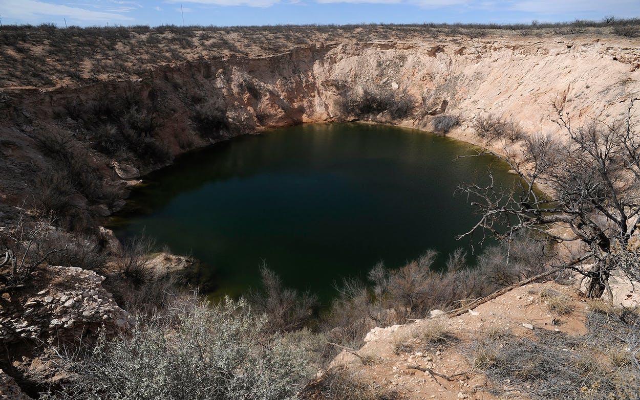
The ground in West Texas could soon be pockmarked with new sinkholes, thanks to oil and gas exploration. New research from two scientists from Southern Methodist University published March 22 in Scientific Reports reveals that the ground is rising and subsiding in a 4,000-square-mile swath of the Permian Basin at higher than natural rates.
The scientists, geophysicist Zhong Lu and research scientist Jin-Woo Kim, both of SMU’s Roy M. Huffington Department of Earth Sciences, used data from satellite radar provided by the European Space Agency coupled with information about oil production from the Railroad Commission of Texas to examine the ground in four Texas counties—Winkler, Ward, Reeves, and Pecos—in the western part of the Permian Basin.
During the Paleozoic Era, this part of Texas was covered by a shallow inland sea that left behind sandstone, limestone, and shale formations. These kinds of rocks are water-soluble, the scientists write, and thus “highly vulnerable to human activities.” Oil and gas drilling activity has taken place in the area for decades, leaving the underlying land unstable.
“This region of Texas has been punctured like a pin cushion with oil wells and injection wells since the 1940s and our findings associate that activity with ground movement,” Kim said in a press release issued by SMU.
If these shifts continue, they could lead to increased seismic activity in the area as well as the formation of new sinkholes, which would pose a danger to “residents, roads, railroads, levees, dams, and oil and gas pipelines,” according to Lu. Pipelines in particular are vulnerable to these shifts, and there are many of them in the area. “West Texas has one of the densest networks of oil and gas pipelines in the U.S.,” the scientists noted. Ground water could also be polluted as a result. They recommend continued monitoring of the situation via satellite so the damage could be mitigated. Thankfully, in coming years, satellite technology will allow for ground shifts to be monitored in near real time, according to Lu.
The scientists cautioned that while their study only examined a 4,000-square-mile area, it is likely this ground movement is occurring in the region at large. “We’re fairly certain that when we look further, and we are, that we’ll find there’s ground movement even beyond that,” Kim said in the release.
Previous research from the same scientists showed that two sinkholes outside Wink, Texas, were expanding more quickly than forecast and could soon connect to form one giant sinkhole. In this new study, the scientists found that two large “subsidence bowls” where the land has dropped more than 15 inches in a year now exist a half mile east of the Wink No. 2 sinkhole. The Wink No. 1 sinkhole appeared in 1980 and the second one followed 22 years later.
Around the state, drilling activity and the wastewater injection wells that accompany it have led to earthquakes, particularly in North Texas. A November study from another set of scientists at SMU found that the use of wastewater injection wells in the Dallas-Fort Worth area led faults that had been dormant for millions of years to reawaken.
- More About:
- Politics & Policy


