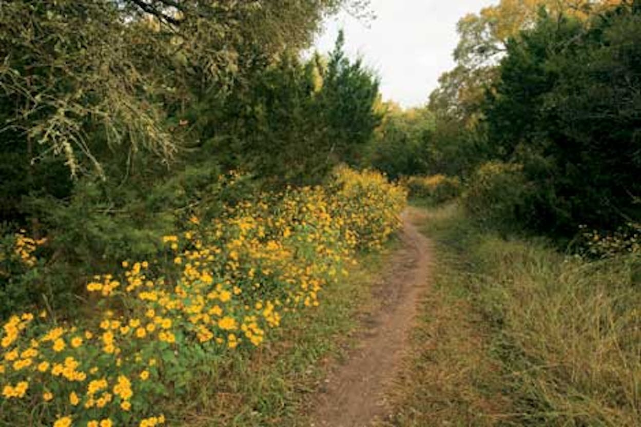
The sights I saw on my drive to Government Canyon State Natural Area this winter pushed me to the brink of vandalism. The endless strip malls. The bulldozed hillsides. The dense housing developments named after the scenery they’d replaced. I was ready to crash my car into the next fake-waterfall subdivision entry I came to, but in the nick of time, I reached my destination: 8,622 acres of unsullied limestone canyons and live oak savannas, cut by creeks and peppered with springs, all sitting smack-dab against the northwest edge of San Antonio’s voracious sprawl.
Who had the foresight to not only save me from committing suburban sabotage but also rescue this chunk of quintessential Hill Country—itself once slated for development before the real estate bust in the eighties? Lots of folks, it seems. Some four dozen environmental, governmental, and business organizations, in fact, labored for decades to create what would become one of the state’s largest natural areas. At stake was a portion of the 1,500-square-mile recharge zone of the Edwards Aquifer (the water supply for nearly two million people) and one impressive hunk of karst, which is not a German cussword but a Swiss-cheesy limestone formation that’s ideal for storing rainfall runoff—and, if not safeguarded, for collecting pollution.
Because conservation rather than recreation is the overriding mission at Government Canyon, which opened to the public in 2005, visitors aren’t allowed to run amok. Or camp (yet) or take dogs or horses into the backcountry. Or bike on certain trails. But hike? Oh, yeah. You can trek up and down hill and dale to your thudding heart’s and wobbly ankles’ content along 41 miles of trails—at least on the four days a week the park is open and as long as you avoid the protected habitat area from March to September. (Nesting golden-cheeked warblers need their privacy.)
So hike I did. After filling out the required day-use trail permit at the visitors center—which even the Monkey Wrench Gang would admire for its site-sensitive design, use of recycled materials, and rainwater collection system—I set off down the rocky Joe Johnston Route, named after the leader of a government survey crew who blazed this trail in the 1850’s (and saddled the park with its less-than-lyrical moniker). I passed through grassy savannas, crossed creeks with limestone beds as smooth as sidewalks, and played peekaboo with eighty-foot-tall cliffs through thickets of ashe juniper. There were so many mountain laurels that I bet that each spring, their grape-gum-scented blossoms can be smelled from outer space. (Park interpreter John Koepke predicts an all-around stunning wildflower show this year.) Along one short stretch of trail, ancient live oaks draped with Spanish moss, an anomaly hereabouts, hovered like huge Southern grandpas gathered at a beard-growing contest. The usual avian suspects—cardinals, titmice, and American crows—flitted and cawed about, and one very cold rosebelly lizard sat so still on a rock that I mistook him for a toy. Other than the dozen or so humans I encountered (more than I expected on a Monday in November but nowhere near the crowds that perfect weekends reportedly draw), I saw no mammals, although plenty of meat-, berry-, and seed-eaters left scatological calling cards in the middle of the trail.
Almost three miles and two hours after heading out (okay, so I dillydallied), I reached the Zizelmann House, built in the 1880’s out of hand-chiseled limestone blocks, some the size of footlockers. Although this iconic symbol of the land’s ranching heritage is now boarded up, fenced against intruders, and in serious need of TLC, it still exudes about 100 zillion times the charms of the all-roof-and-no-soul houses I’d driven past. From here I turned back, taking a park ranger’s recommended short detour along the Overlook Trail. After looping through a hobbit-height tunnel of vegetation, I popped out into the open and followed a path that flirted with the cliff edge. As I looked out across the rumpled mini-canyonland, where Texas red oaks blushed and escarpment black cherry trees glowed, with nary a structure or a utility line in sight, I finally forgot about the madding world, breathing heavily just offstage but held permanently at bay.
Government Canyon State Natural Area
Front gate open Friday through Monday from 8 a.m. to 6 p.m.; access to backcountry trails closes at 4 p.m. ($6 per person; free for children 12 and under). Frequent interpretive hikes are offered, which focus on themes ranging from history to haiku writing. 12861 Galm Road, five miles northwest of the intersection of Loop 1604 and Culebra Road (FM 471); 210-688-9055; tpwd.state.tx.us
While You’re in the Neighborhood
If the thought of forging your way into suburban San Antonio to find overnight accommodations at one of the sprawling resorts seems out-and-out traitorous at this point, head south on FM 471, the back road to the Alsatian-flavored town of Castroville, twenty minutes from the park. Here the Landmark Inn State Historic Site B&B, a cluster of buildings dating to the mid-1800’s, including a former mill and bath-house that reportedly was once the only place for a hot soak between San Antonio and Eagle Pass, offers a prime spot right on the Medina River to hone your throwback attitude and further contemplate the value of water. From $75. 402 East Florence, 830-931-2133, landmarkinntx.com.


