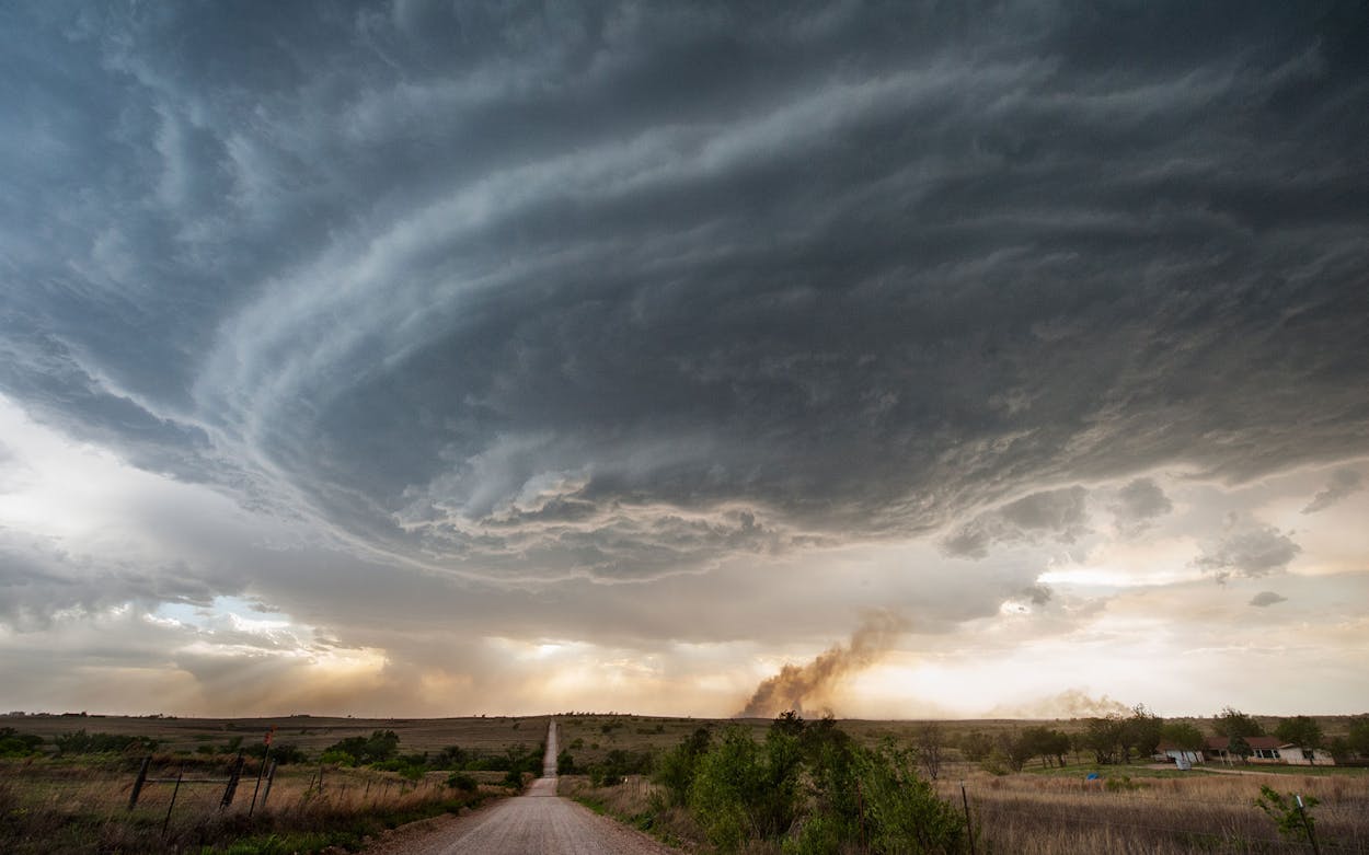
We’re well versed on the tragedies that can occur as a result of wildfires in the Texas Panhandle. (Those who want a visceral telling of exactly how devastating they can be should revisit Skip Hollandsworth’s emotional account of the fires that came last March.) What we didn’t know about them, though, was that their impact on the ground can on occasion be matched by impact in the skies.
That’s a theory we’ve learned from weather blogger Dennis Mersereau, who explained how fires in the Panhandle last week likely led to the formation of a supercell thunderstorm in the area in a post on his blog, Damweather.com.
Using satellite footage and a clear explanation of the science, Mersereau describes how it works: A layer of warm air sat on top of a layer of cool air (called a “cap”), creating instability that could lead to thunderstorms. However, for the air to rise through the atmosphere, something had to break through the cap in order for the storm to build. In this case, the “something” in question were fires on the ground, the heat from which effectively melted the cap of cool air and allowed the storm to develop, after which it dropped rain and hail on Amarillo and onto Oklahoma. It’s a cool—if rare—display of the incredible power of fires and the interactions of nature’s forces, which can be both devastating and beautiful.


