


The most peculiar natural spring in Texas is saltier than the Dead Sea and deeper than anybody knows. Called the Estelline Salt Springs, it wells up from underneath the reddish surface of the Texas Panhandle, reaching daylight in the bottom of a man-made pool one hundred yards in diameter: a perfect circle, shimmering green, ringed by a white salt crust.
The brine pool lies on a private ranch about 25 miles west of the Oklahoma line, in the alluvial flats of the Prairie Dog Town Fork of the Red River. The public hasn’t been allowed to swim there for decades, but locals still tell wild tales about its mysterious waters. One legend has it that colorful, oceanic fish swim in the Estelline. Another holds that a scuba diver once plunged in and was never heard from again. “Some say it’s an underwater cavern that leads to the Gulf of Mexico,” says Jody Sanchez, who is 42 and grew up in the nearby town of Childress, nearly five hundred miles from the coast.
Sixty-one-year-old Johnny Brown, who has lived all of his life near the spring, in a tiny town also named Estelline, goes even further. “There ain’t no bottom to that thing,” he says. Brown often swam in the “salt lake hole,” as he calls it, when he was a child. “I’m scared of it now,” he says, “because I’ve seen it swirling like a drain. Wherever it goes, you’ll go so far down, you’ll probably get sucked up under.”
These sorts of claims might be hyperbolic, but the true story of the Estelline is no less astounding (more on that in a minute). In fact, the same could be said about much of the salt that occurs naturally throughout Texas. This humble compound of sodium and chloride, described by the Texas State Historical Association as the “oldest and most continuously produced commercial mineral” in the state, has both catalyzed and thwarted the ambitions of Texans for centuries. Start looking, and you’ll find salt all over, in many forms: crystals, crust, powder, rock, block, or brine. It most often occurs in regions so desolate that social distancing is done by default.
It’s not hard to self-isolate when you drive ninety miles east of El Paso. There, at the foot of the Guadalupe Mountains, the vast pan of the Salt Flat sweeps like a white ocean beyond the horizon. Spaniards first encountered the Salt Flat, the dried remnant of an ancient lake, in 1692. By 1750 or so, they were embarking on frequent wagon trains from El Paso to harvest the stuff. A couple of decades later, in the Rio Grande Valley, Spanish and Mexican colonists also began to produce salt from two hypersaline lakes: La Sal del Rey and La Sal Vieja, about forty miles north of present-day McAllen (and now protected, and open to the public, as part of the Lower Rio Grande Valley National Wildlife Refuge). On the Texas coast, traders also found seemingly endless supplies of salt along the shores of the Laguna Madre, the hypersaline lagoon that separates Padre Island from the mainland, where thick sheets of salt could be cut into blocks and ferried away by boat.


Used to tan hides and preserve food, salt was far more precious during this time than many of us realize. As Mark Kurlansky writes in his 2002 book Salt: A World History, “Salt is so common, so easy to obtain, and so inexpensive that we have forgotten that from the beginning of civilization until about a hundred years ago, salt was one of the most sought-after commodities in human history.”
Under Spanish and Mexican law, everybody owned Texas’s salt beds. That changed under American rule. During the Civil War, Confederates used caravans of camels to freight away salt from the two salt lakes in South Texas; they used slaves to help produce it. During the 1860s in El Paso, Anglo businessmen filed claims to the Salt Flat beds. They tried to deny access to the Mexican farmers and traders who’d depended on the salt for generations. In 1877, the long-simmering dispute turned violent. An angry mob captured three of the El Paso businessmen and executed them by firing squad. American troops and vigilantes struck back, killing an untold number of the rioters. From then on, Mexican communities were forced to pay for salt they’d always collected for free.
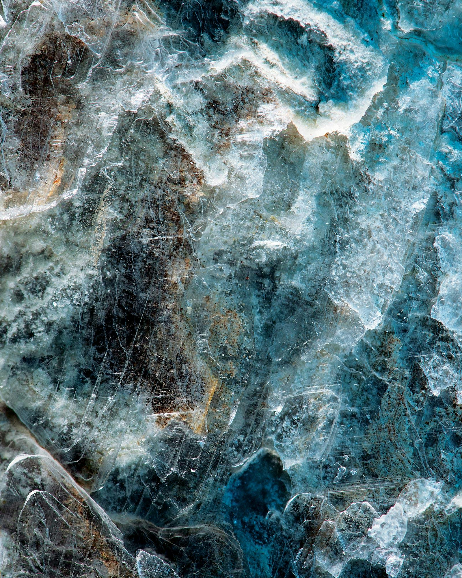
So where did all this salt come from, anyway? The answer: seawater. Over millions of years, swaths of Texas were repeatedly inundated by oceans and saltwater basins. Every time those seas receded, or the basins evaporated, they left behind enormous salt beds, just like the one you still find at the Salt Flat. Most of Texas’s salt beds were eventually covered by layers of rock and soil. Under intense pressure from all that heavy sediment, the salt was smashed flat—except in more porous spots, where it thrust back toward the surface, creating underground towers called salt domes. Some of the domes are thousands of feet tall. In diagrams, they sometimes look like enormous zits pushing through layers of human skin.
Salt domes changed Texas history: the discovery of oil on top of one such dome at Spindletop, south of Beaumont, birthed the modern petroleum industry. On top of another, in East Texas, Caddo Indians were making salt as far back as 1,200 years ago by boiling water from a marshy seep near present-day Grand Saline, whose name literally means Big Salty. Commercial salt makers opened for business in Grand Saline in 1850; since 1931, industry behemoth Morton Salt Company has mined the dome, which is thought to be 20,000 feet tall and could supply every American’s salt needs for the next 20,000 years. When it rains, it pours—apparently forever.
But salt can also make life incredibly difficult. Drill a well north of Pecos, for instance, in the harsh desert terrain of Loving County, and you’ll likely hit brackish water. Home to just 169 residents, Loving is the least populous county in Texas. There’s no school, no supermarket, no active church. Few people are willing to settle in an area where they can’t readily find water decent enough to drink. In 2005, though, Loving County discovered a rare pocket of fresh water four hundred feet below the ground, six miles east of Mentone. Half a dozen wells were drilled. Each produces a mere six to eight gallons per minute. It’s better than nothing. “My mama cried when she turned on that tap and didn’t have salt water. She cried, she was so happy,” recalls Loving County judge Skeet Lee Jones.

The Estelline spring, which sits three hundred miles northeast of Loving County, had similarly stalled the march of human progress. As of the early 1960s, with an extraordinarily high salinity of 43 percent—compared with the Dead Sea at 34 percent, and the ocean at 3.5 percent—the Estelline was pumping tons of salt water into the Red River every day. It fouled the drinking water in Wichita Falls and harmed the fish even farther downstream, in Lake Texoma, the sprawling reservoir north of Dallas.
In 1962 the Army Corps of Engineers intervened. As it was preparing to encircle the spring with a trench and embankment to block the Estelline’s flow into the river—the opening salvo in the Corps’ ongoing Red River Chloride Control Project—a biologist named Gordon Creel made the discovery of a lifetime. Right there, in a spring situated in the Texas Panhandle, he found tiny saltwater crabs scuttling about. The crabs were drab green with dime-size shells and white and rust-colored spots.
The Estelline spring has two openings, so Creel dove into the larger mouth, which was 65 feet wide. He descended through dense algae. By the time he reached 25 feet belowground, the cavern had narrowed to a width of 20 feet. It widened slightly as he proceeded to a depth of 120 feet, where he found a small opening to a much larger cavity completely filled with water. Creel saw other invertebrate species. The most striking was a barnacle, a marine crustacean with a hard external shell that had no business being in the Texas Panhandle. Creel also observed the Red River pupfish. No surprise there: the small, yellowish pupfish is native to the saltier stretches of the Red and Brazos rivers in the area.
Creel took sixteen crabs back to his science lab at Wayland College (now Wayland Baptist University), in Plainview. A day later, they were all dead. Studying their bodies, he realized these creatures were most closely related to a small crab named Hemigrapsus oregonensis, which lives on the Pacific Coast. Creel named the new species Hemigrapsus estellinensis.
You won’t find any crabs like the estellinensis on the Texas coast. They were probably remnants from a time when the land was submerged by one of those vast inland seas. As the waters receded, the only crabs to survive were the few that were lucky enough to hole up in the Estelline. By 1964, when Creel published a paper announcing his discovery, the Army Corps had dammed the spring, killing off the pocket of marine life. The Panhandle crabs were extinct before the world knew they existed.
Satellite images of the Estelline reveal a shimmering emerald dot in the midst of reddish mud flats about forty miles east of the Caprock Escarpment. You can’t see the pool from any road, and the landowner declined my request to visit the site. I had more luck about eighty miles southeast, at another unusually salty locale.
At the Truscott Brine Lake, an Army Corps of Engineers reservoir, the brine is piped in from nearby springs, preventing them from contaminating the south fork of the Wichita, a tributary of the Red River. After the lake opened to the public, in 1987, people brought their boats and jet skis, but visits have dwindled over time. The harsh water corrodes boats, and the only fish are those Red River pupfish. The 116,200-acre-foot reservoir is completely self-contained. Because the water evaporates so quickly, there’s no need for an outlet.
I visited the brine lake on a bright July afternoon. The few trees closest to the water were dead. I saw no other living thing. The air smelled like an ocean breeze. White sheets of foam swept across the surface of the gunmetal-blue water and accumulated into mounds on the shoreline. Flecks of the foam were breaking free and rolling like fluffy white tumbleweeds across the banks. The waves lapped the shore rocks, all of them coated in a warty, brittle, half-inch-thick crust, which sparkled in the sunlight.
To cool off, I eased into the brine, up to my neck. I’d been wanting to know how easily I would float in such densely hypersaline water, like the buoyant swimmers in the Dead Sea. Instead, I decided against venturing any deeper. There was something eerie about this lifeless place. I stayed in long enough to drink a beer I’d brought; every sip tasted of salt. Then I eased out. By the time I had taken five steps, my body was completely dry. The water was gone, but the salt remained: a fine white crust left behind by Texas’s inland seas, covering every inch of skin.
This article originally appeared in the July 2020 issue of Texas Monthly with the headline “Salt Life.” Subscribe today.


