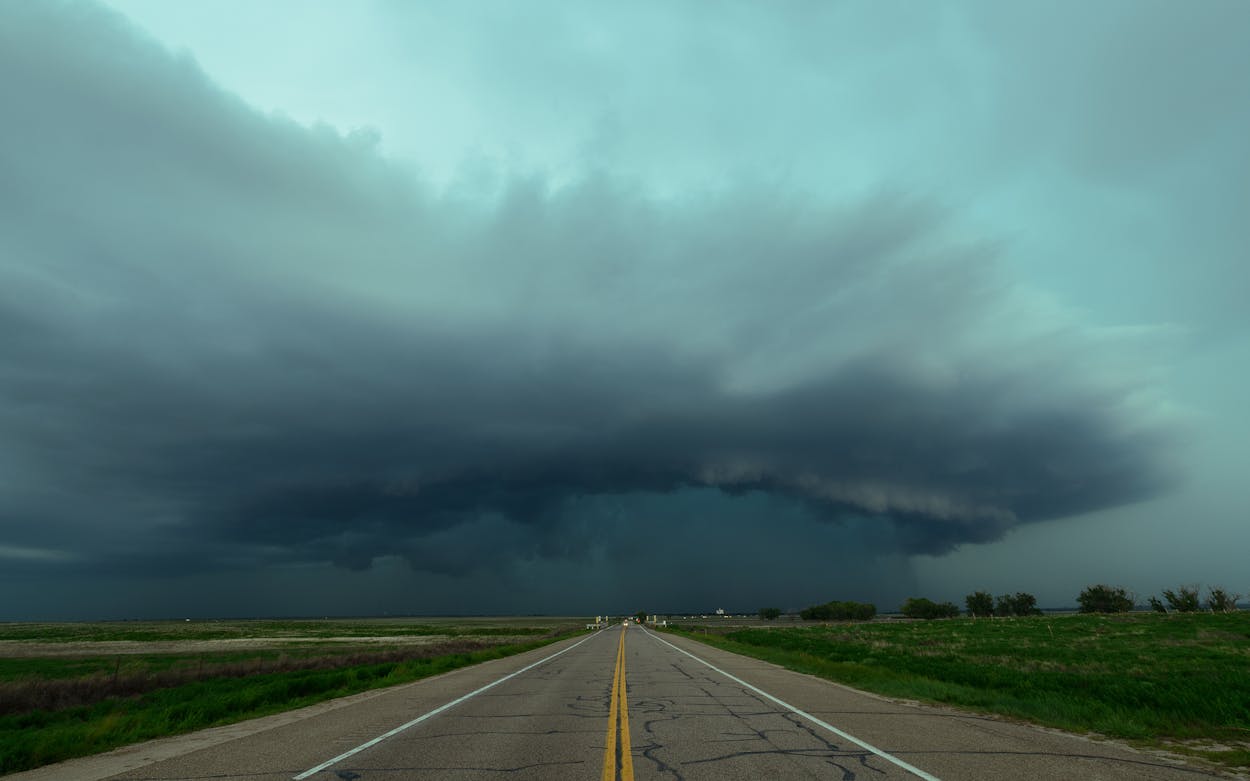
Texans, perhaps more than any other Americans, are bound by a shared sense of communal experience. That bonding tends to manifest in our reverence for barbecue, football, high-powered weaponry, and the blissful feeling that washes over us when we pick up tortillas at H-E-B and notice that the plastic bag is still warm. For the next 48 hours, at least, Texans will be bound by something not so great: severe weather.
No matter where in the state you’re located, meteorologists say, there’s a good chance you’re going to encounter harsh weather conditions. In southeast Texas—where this year’s College Football Playoff national championship is slated to kick off at 6:30 p.m. Monday, in Houston—residents are already on the lookout for tornadoes. The weather conditions are the result of a cold front moving east across Central Texas and then colliding with warmer southeastern air, creating a “classic intense storm system,” according to Brian Hoeth, an emergency-response meteorologist with the National Weather Service’s regional office in Fort Worth.
Meanwhile, residents between Amarillo and the Oklahoma border are bracing for blizzardlike conditions until Tuesday morning and a windchill that could drop several degrees below zero by tomorrow morning. Contrary to conventional wisdom, a blizzard warning doesn’t necessarily mean significant snow, weather experts say. But a mixture of snow and wind that lowers visibility and makes being outside dangerous is expected. Moderate snowfall is already underway in the area, according to the National Weather Service, and “conditions are deteriorating” as snow begins to accumulate, making road conditions hazardous.
Meanwhile, in Central Texas, which remains in a severe drought, powerful storms are expected. West of San Antonio, closer to the border, red flag warnings (a.k.a. fire risks) are already in effect and are expected to remain that way for the next couple days. Meteorologists are warning of sustained winds between 25 and 35 miles per hour, with gusts as high as 50 miles per hour. In South Texas meteorologists are concerned about the potential that strong winds could spread fire and are asking people to avoid setting outdoor fires or tossing cigarettes out of moving vehicles. The NWS warns that “drought and freeze cured fuels along with the low humidity and gusty conditions will result in pockets of high fire danger over the Rio Grande plains, mainly south of Del Rio.”
Individually, none of these weather events is particularly unusual for January in Texas, according to Hoeth. But what is somewhat abnormal, Hoeth said, is for all of that weather to be occurring at once. “Believe it or not, it’s somewhat common to get severe weather in the winter, whether it’s hail or damaging winds, a tornado or two in the eastern part of the state, or the blizzardlike conditions we’re seeing in the Panhandle,” Hoeth said, offering a link to a NWS chart showing the average number of tornadoes per month by state. “But we haven’t had a lot of severe weather over the past six months and, now that we’re seeing some, people are maybe forgetting how often it can happen.”
After living through several years of unpredictable winter weather, you may (like me) be tempted to blame this chaotic week’s extreme weather on climate change. However, Hoeth cautioned that weather experts like himself try not to link individual weather events to a trend as significant as the ongoing increase in average global temperature. A more concrete explanation is probably the fact that the state has entered “a strong El Niño pattern,” Hoeth explained, which typically means “wetter conditions in the wintertime and a higher likelihood of severe weather events like we’re seeing today.”
Whether you’re chilly, wet, or windswept tonight, perhaps you can take some consolation in knowing that so are the rest of your fellow Texans.


